http://www.aerialarchives.com/Aerial-Maps-of-Sonoma-County.htm
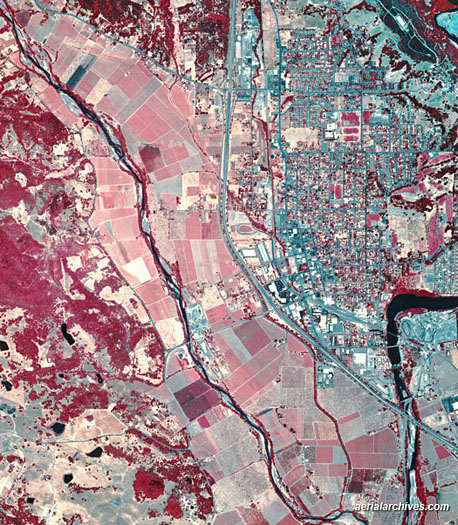
Infrared aerial photos are pictures that can be used to distinguish environmental changes as well as the health of forests, wetlands, and other landscapes. The photo above is an aerial map of Sonoma County, California.
No comments:
Post a Comment