The Many Maps of Michael
Wednesday, November 20, 2013
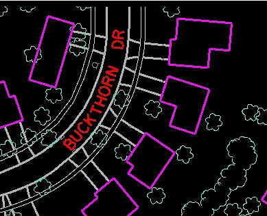
Planimetric Map
http://www.webpages.uidaho.edu/niatt_labmanual/Chapters/roadwaydesign/theoryandconcepts/SurveysAndMaps.htm
The map type being shown here is a Planimetric Map. This map is conveying what features of land, man made or natural, are on this part of Buckthorn Drive without showing any elevation. These maps are taken from aerial photography.
No comments:
Post a Comment
Newer Post
Home
Subscribe to:
Post Comments (Atom)
No comments:
Post a Comment